
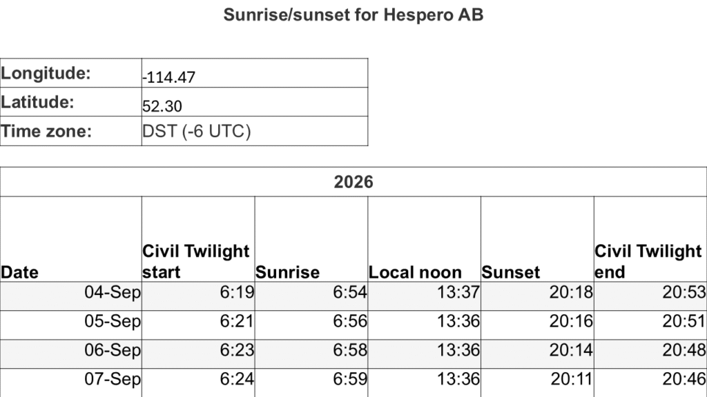
Hespero / Red Deer Airport
Hespero AB: CFB3 / 52.30000° N (52° 17′ 59″ N) / -114.46400° W (114° 27′ 50″ W) / 3175 feet (968 m)
Red Deer AB Airport: CYQF / 52.1822° N (52° 10' 56" N) / 52.1822° N (52° 10' 56" N) / 2968 feet (905 m)
MDT to UTC
Sep 4, 6:00 PM MDT → Sep 5, 00:00 UTC
Sep 5, 6:00 AM MDT → Sep 5, 12:00 UTC
Sep 5, 6:00 PM MDT → Sep 6, 00:00 UTC
Sep 6, 6:00 AM MDT → Sep 6, 12:00 UTC
Sep 6, 6:00 PM MDT → Sep 7, 00:00 UTC
Sep 7, 6:00 AM MDT → Sep 7, 12:00 UTC
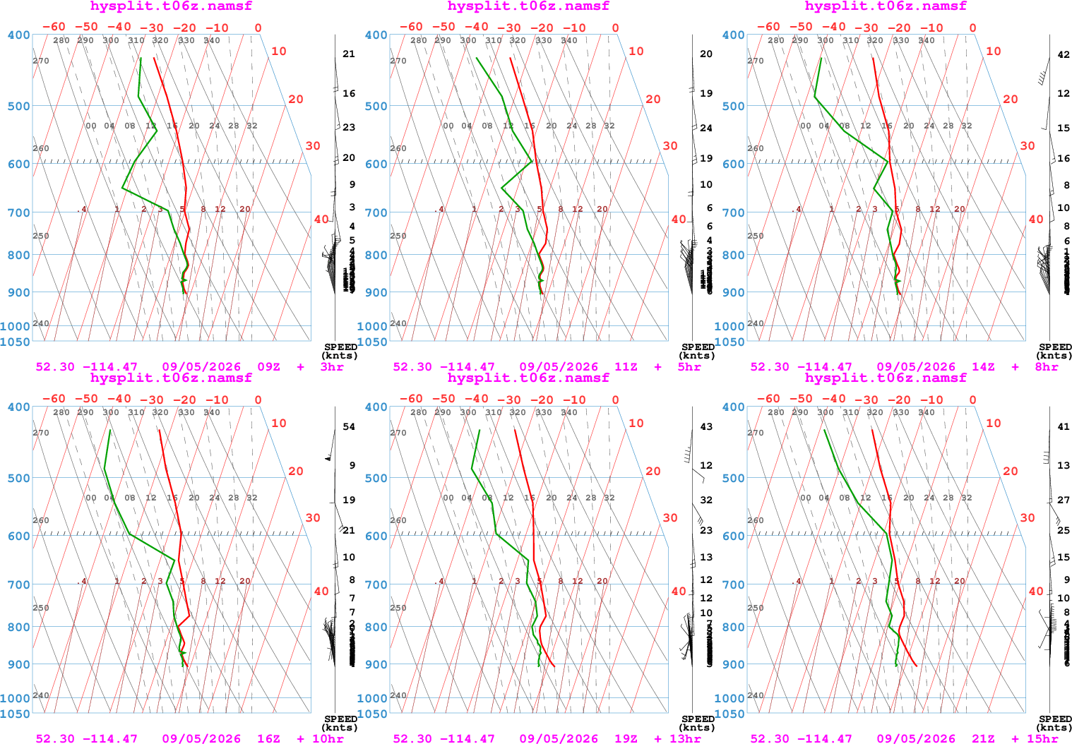
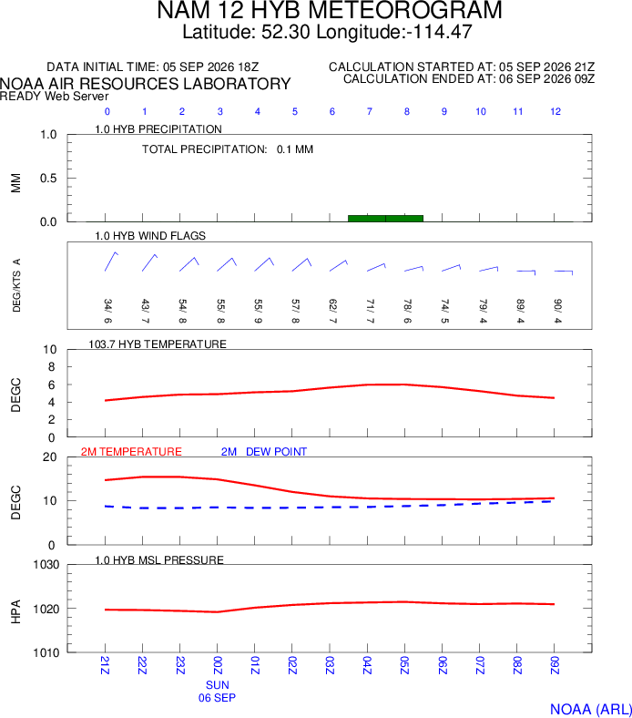
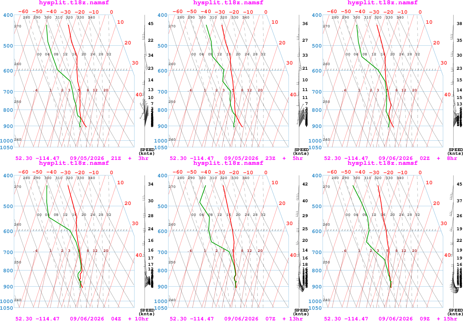
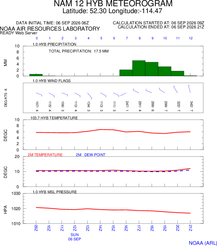
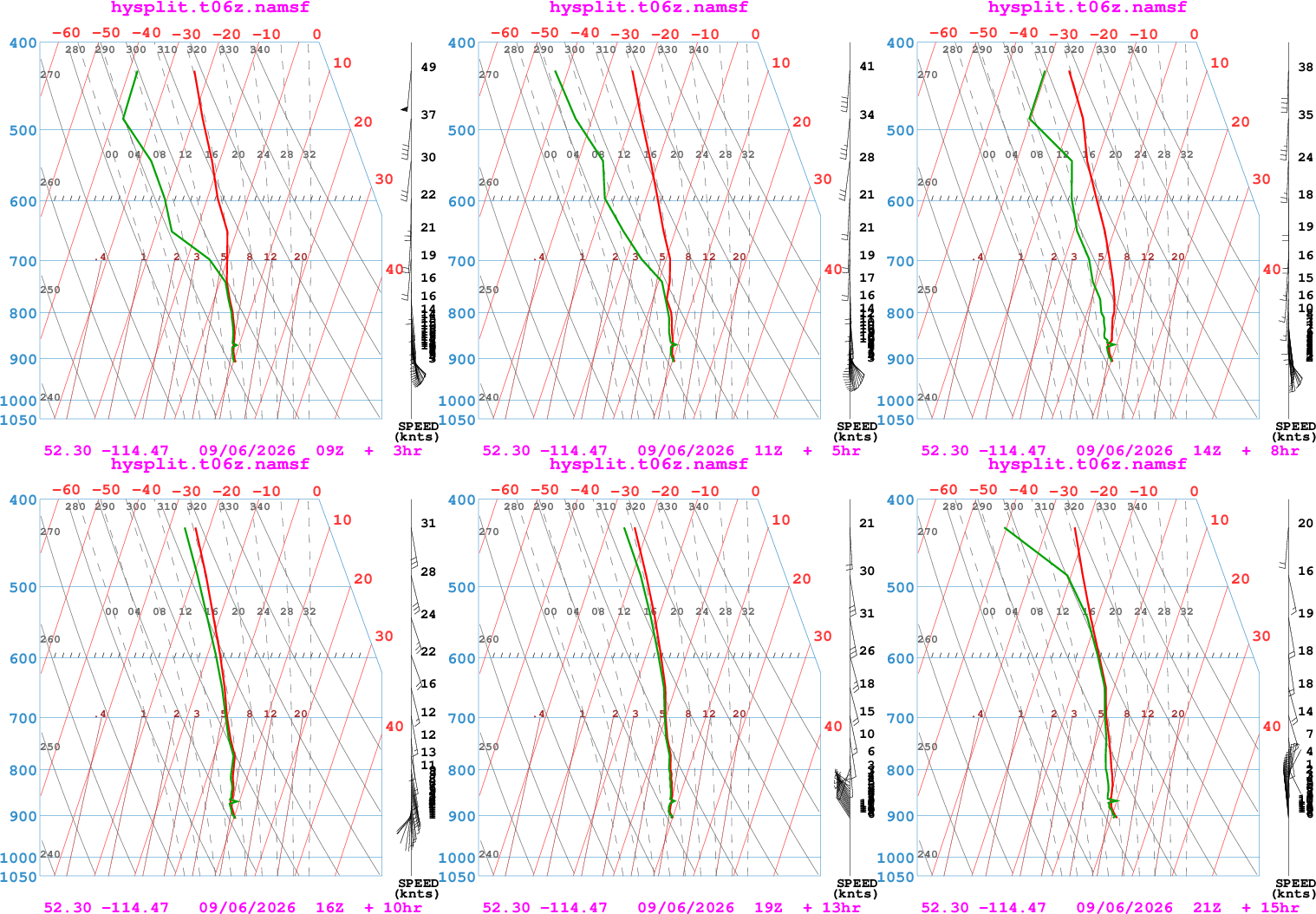
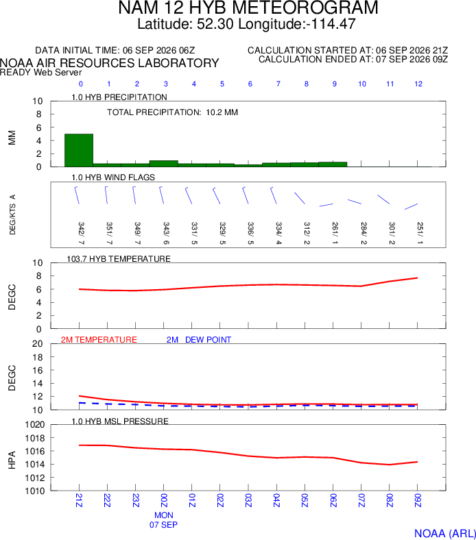
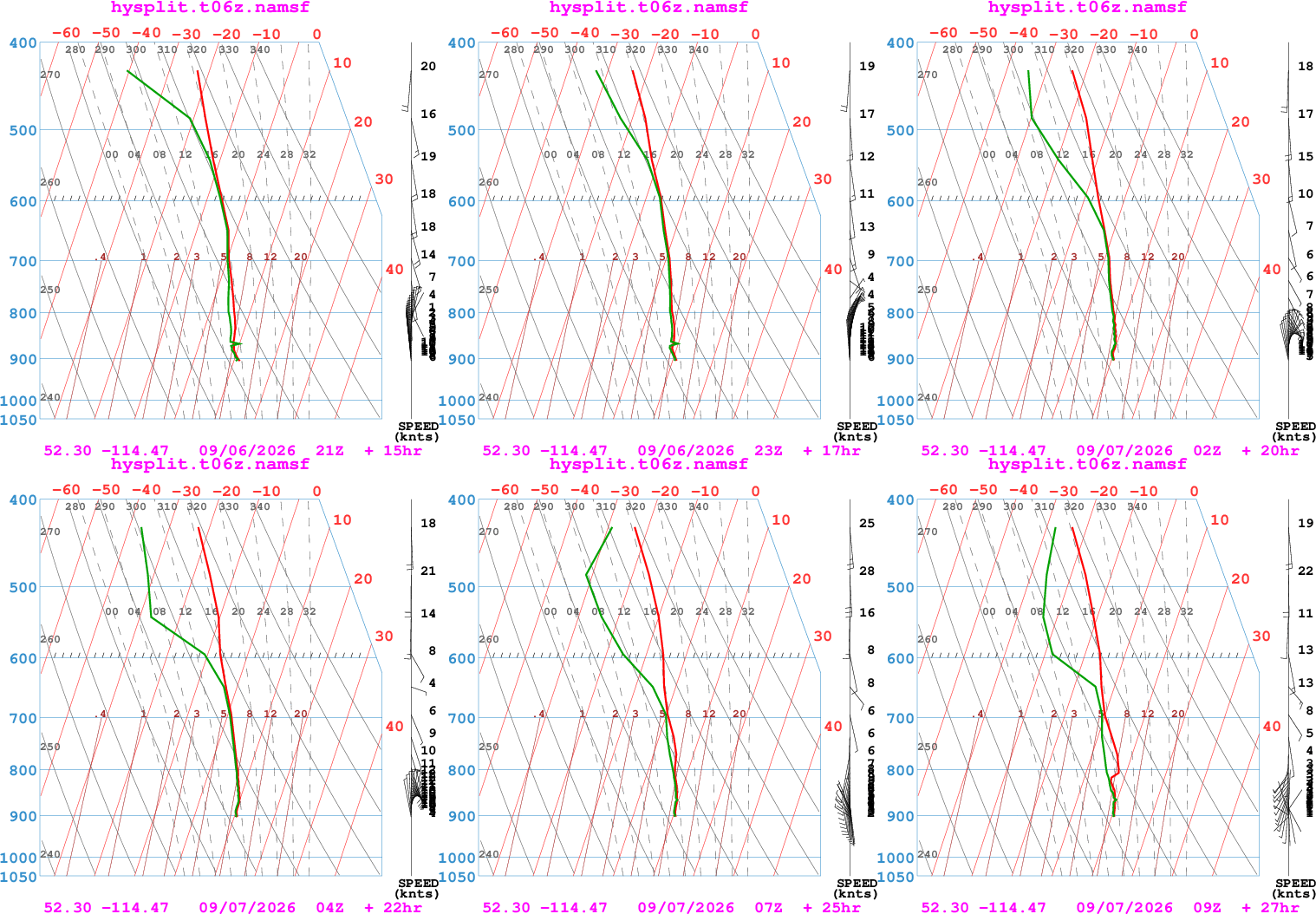
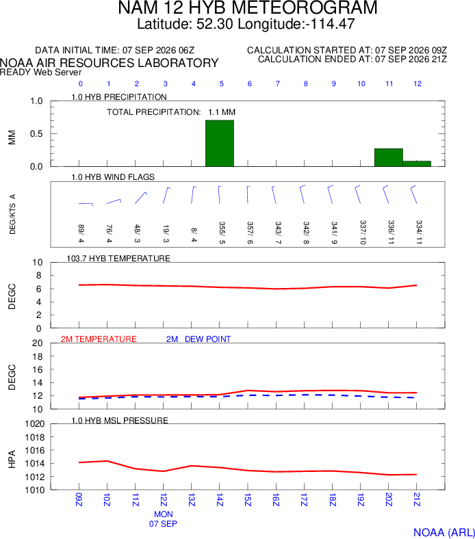
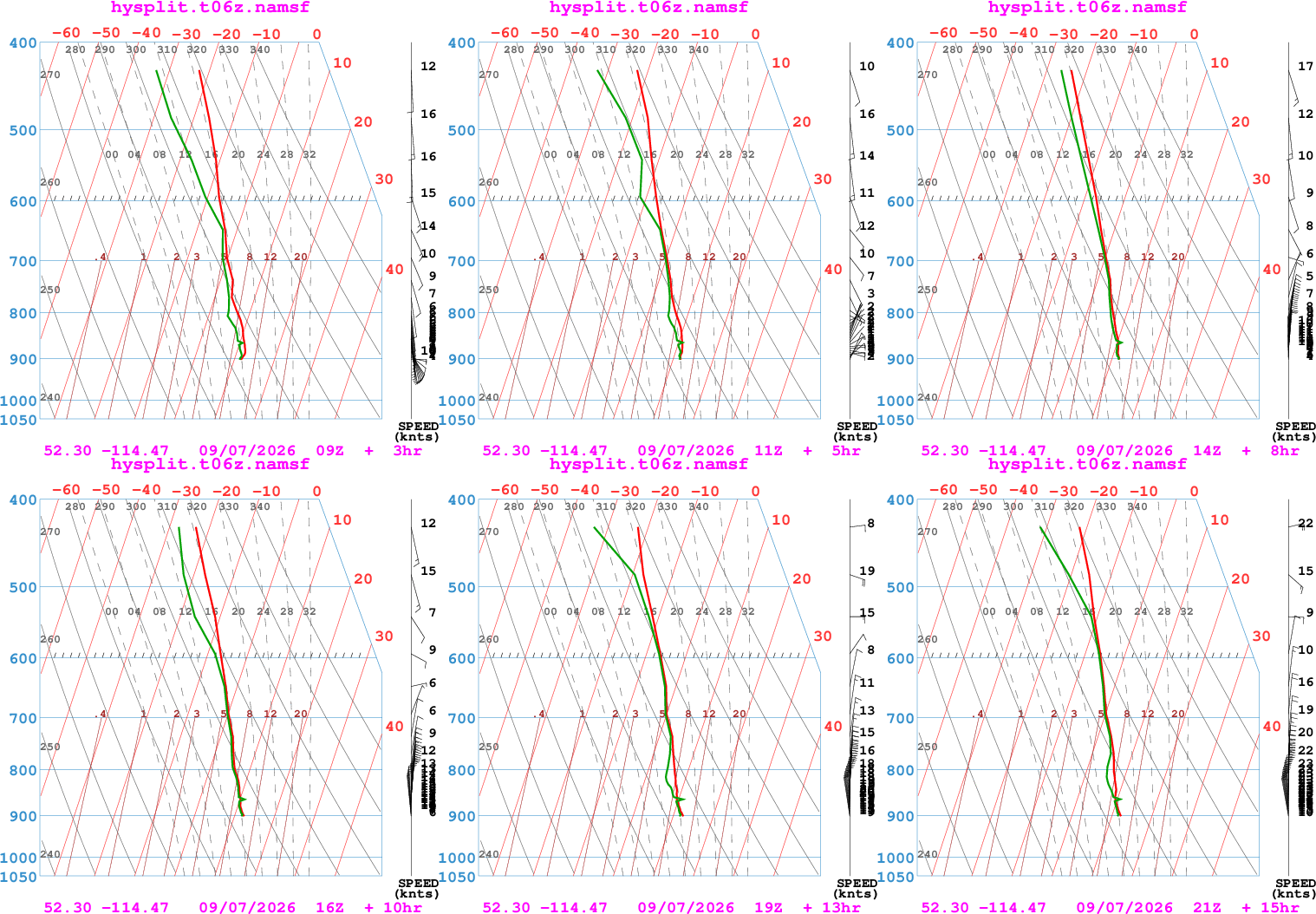
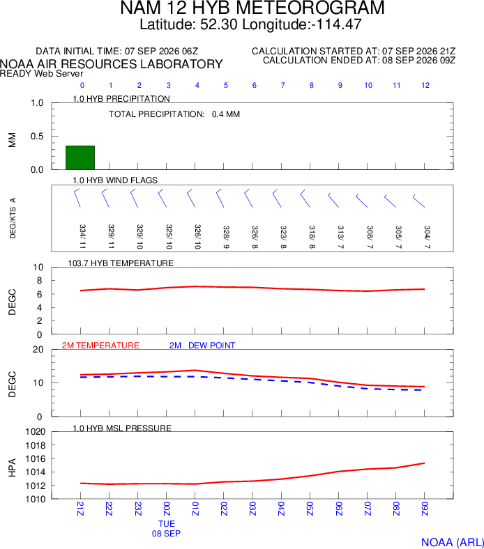
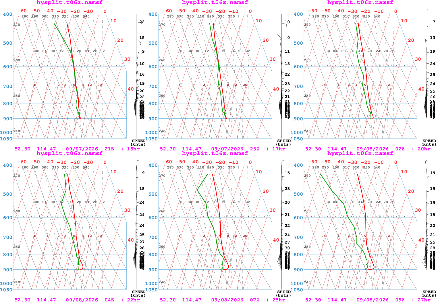
NOAA - READY Forecasts
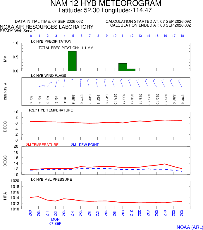
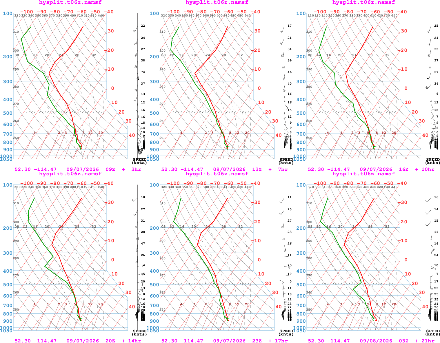
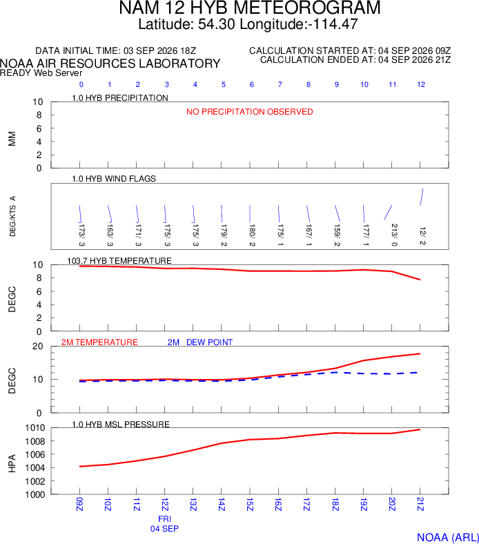
The following forecasts are for the entire (or remaining) event and for each flight. They will be updated about two (2) hours before the briefing time for each flight period. I (GAL) intend to keep the current/next flight period and the one after that as up-to-date as possible. Subsequent flight periods will be updated as time allows.
Forecasts with Green Buttons are still being updated.
Forecasts with Orange Buttons are no longer being updated (because their periods have elapsed).
NOTE: Your web browser may cache files such that you do not see the most up-to-date forecast. If in doubt, delete cached images and files to force your web browser to update forecasts.
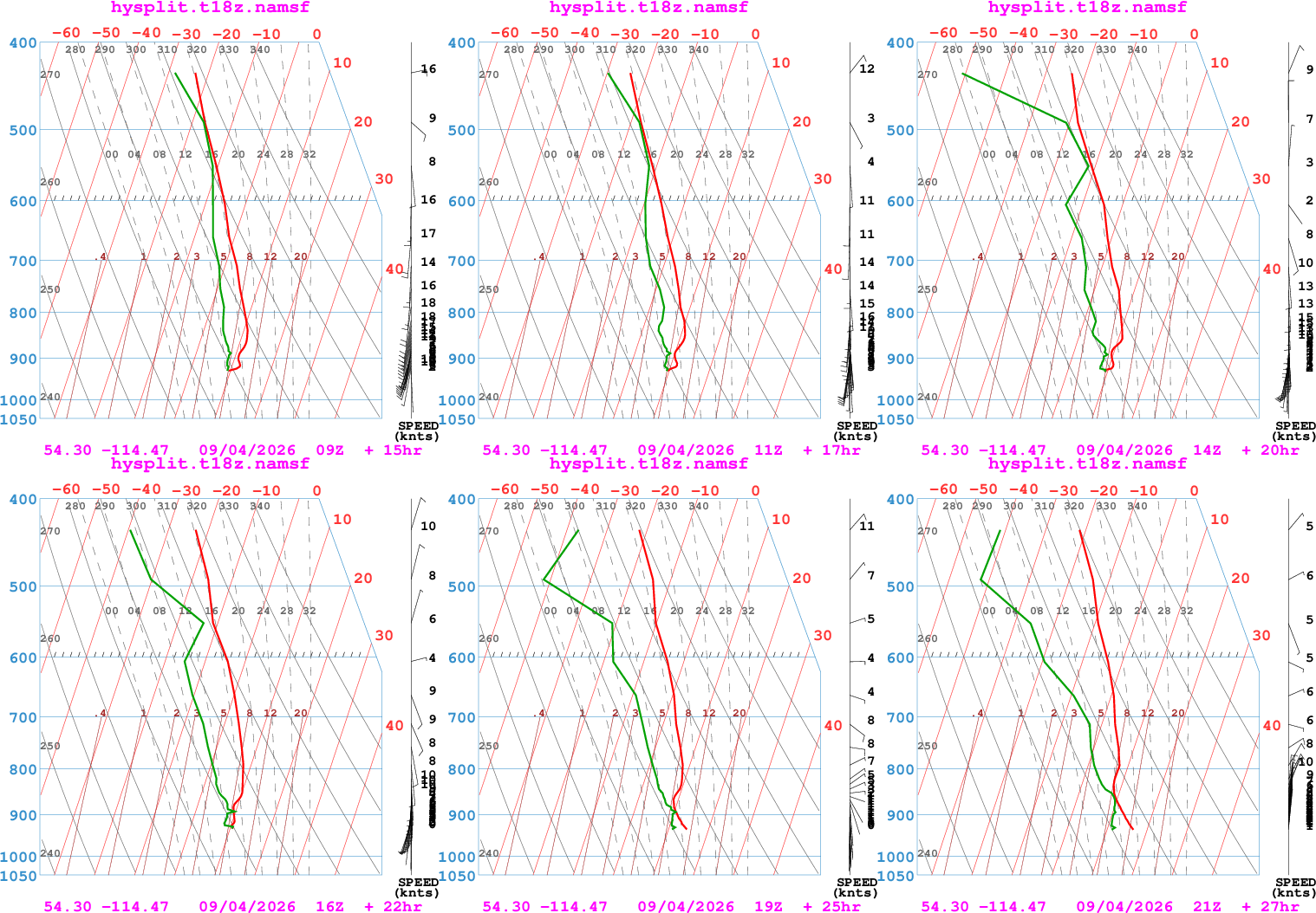
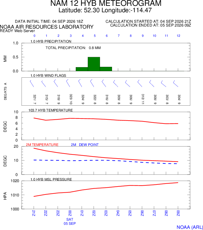
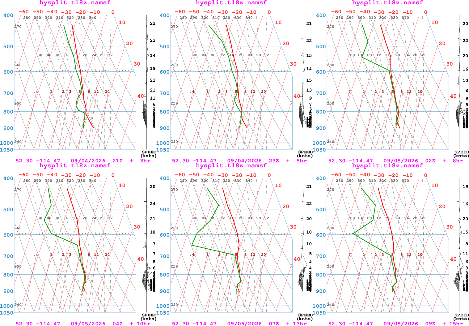
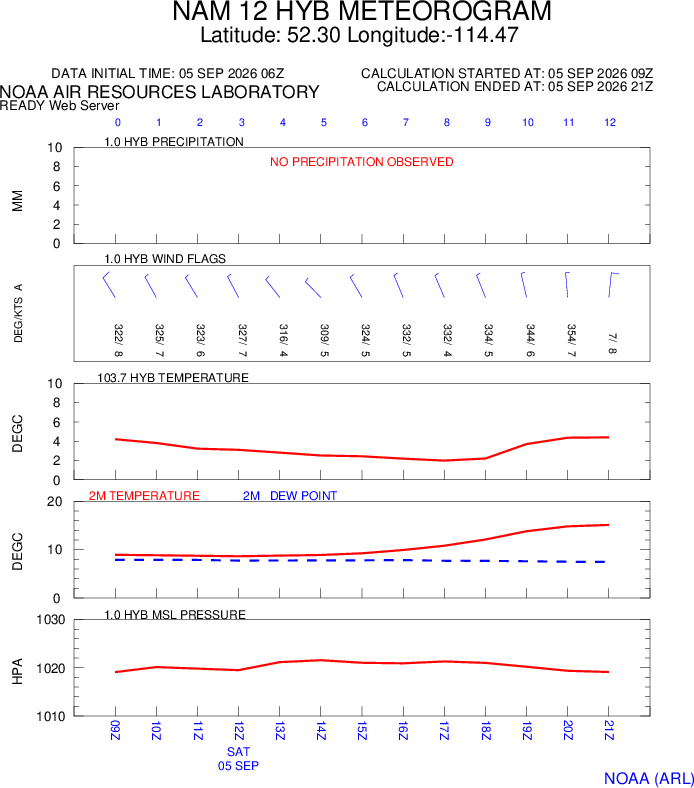
Environment Canada
Windfinder
The author of this website gratefully acknowledges the NOAA Air Resources Laboratory (ARL) for the provision of the HYSPLIT transport and dispersion model and/or READY website (https://www.ready.noaa.gov) used in this publication.
Citation
Stein, A.F., Draxler, R.R, Rolph, G.D., Stunder, B.J.B., Cohen, M.D., and Ngan, F., (2015). NOAA's HYSPLIT atmospheric transport and dispersion modeling system, Bull. Amer. Meteor. Soc.,96, 2059-2077,http://dx.doi.org/10.1175/BAMS-D-14-00110.1
Rolph, G., Stein, A., and Stunder, B., (2017). Real-time Environmental Applications and Display sYstem: READY. Environmental Modelling & Software,95, 210-228,https://doi.org/10.1016/j.envsoft.2017.06.025. (http://www.sciencedirect.com/science/article/pii/S1364815217302360)